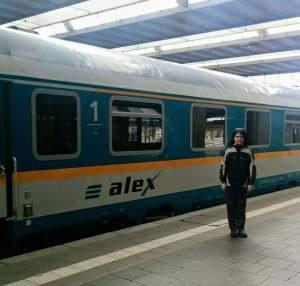
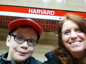
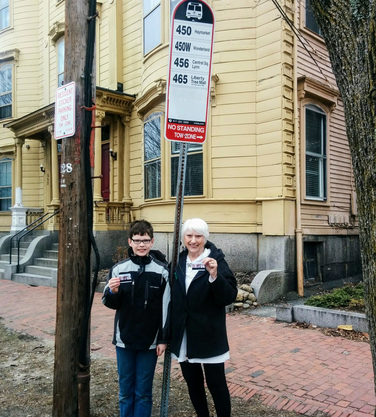
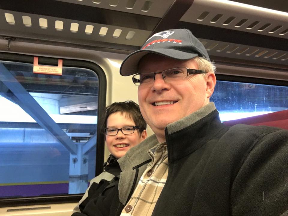
During this excursion, my dad and I decided to give my mom a break, and so I let my dad experience what it is like to do an MTBA excursion with me. We were on a weekday schedule, so we went to our bus stop in Salem, to take a 450 bus to Haymarket on a sunny March day.

After about a 1 and a half hour ride, we arrived at Haymarket. Now from here we could get to our first stop, East Berkeley Street on the Silver Line.

My dad doesn’t like the Green Line too much, even though we took it later. We took the Orange Line from Haymarket to Tufts Medical Center, 4 stops away. It is the only station on the Orange Line that serves the southern Silver Line, which was required to get to East Berkeley.

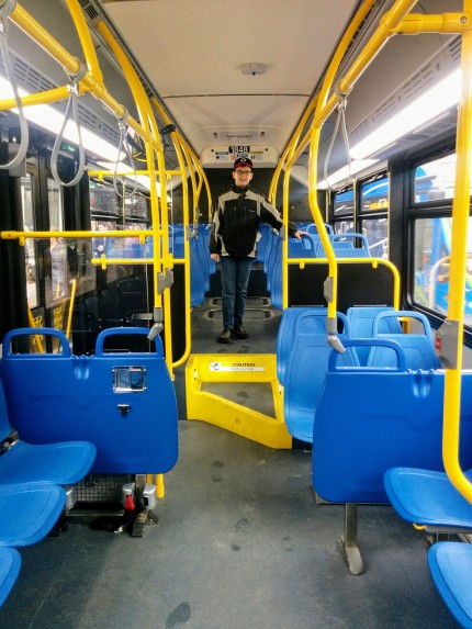
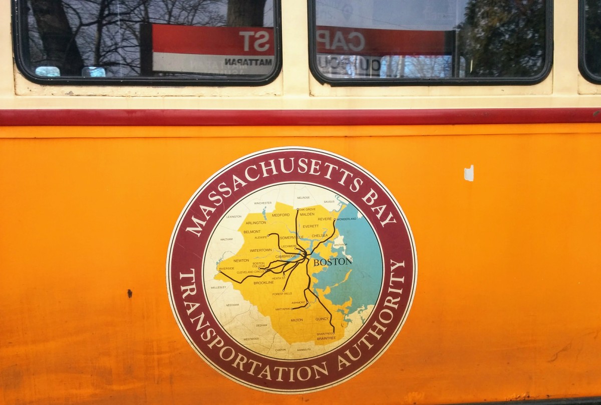
Chinatown, 1 stop away, only serves the Northern Silver Line, so we couldn’t take it. Another way we could’ve gotten to East Berkeley is by taking the Green Line to Boylston, 3 stops away, or stop prematurely on the Orange Line, at Downtown Crossing, 2 stops away. Both stations are not recommended because only one of the lines, SL5 stops there. But at Tufts, SL4 and SL5 both stop, so we had more time to catch a bus. If I didn’t say so already, the Silver Line is bus rapid transit, while the colored lines are train rapid transit. In the following picture, the bus is arriving in a silver color, but sometimes silver line buses are the normal yellow colors.

We were lucky to catch the newest type of bus, that is crisp and clean. Even though the bus is new, me and my mom found them more on our later excursions.

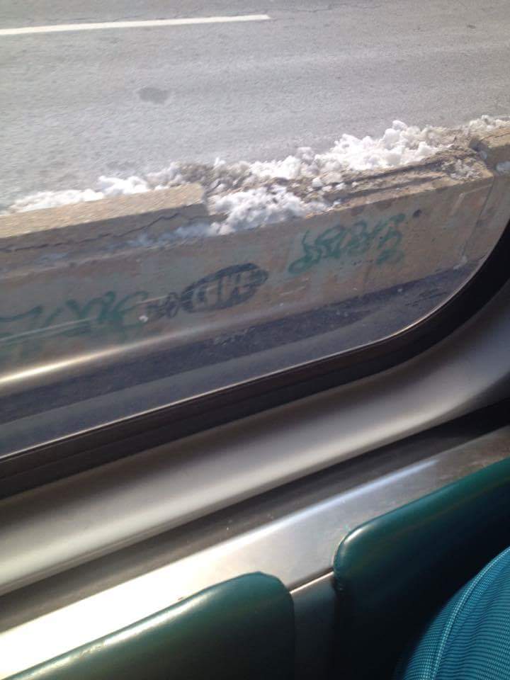
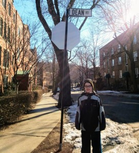
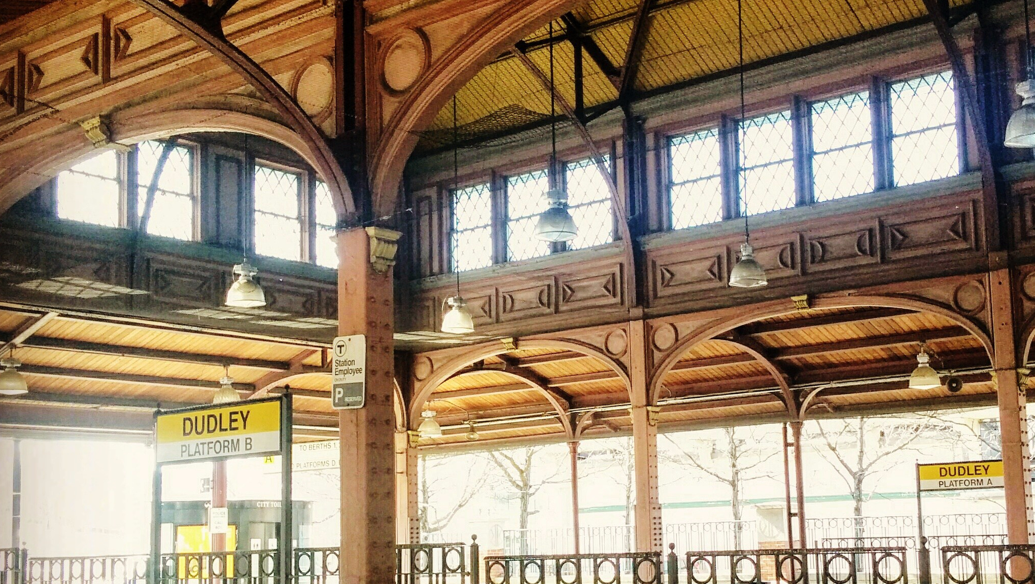
It was a very short ride to East Berkeley Street, as it’s only 2 stops away. The station is just a normal bus stop at an intersection, named by the street.

To get to our next stop, Eliot, we would have to travel by Green Line. So, we found a bus stop nearby. This time, Bus 9 to Copley wasn’t the newest bus, but was still okay.

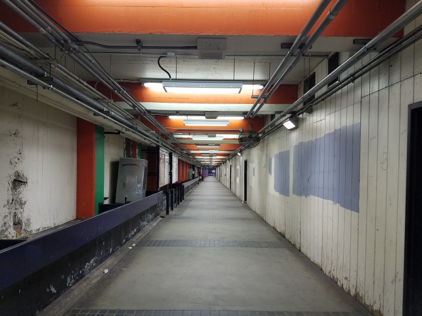
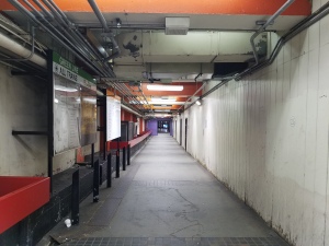
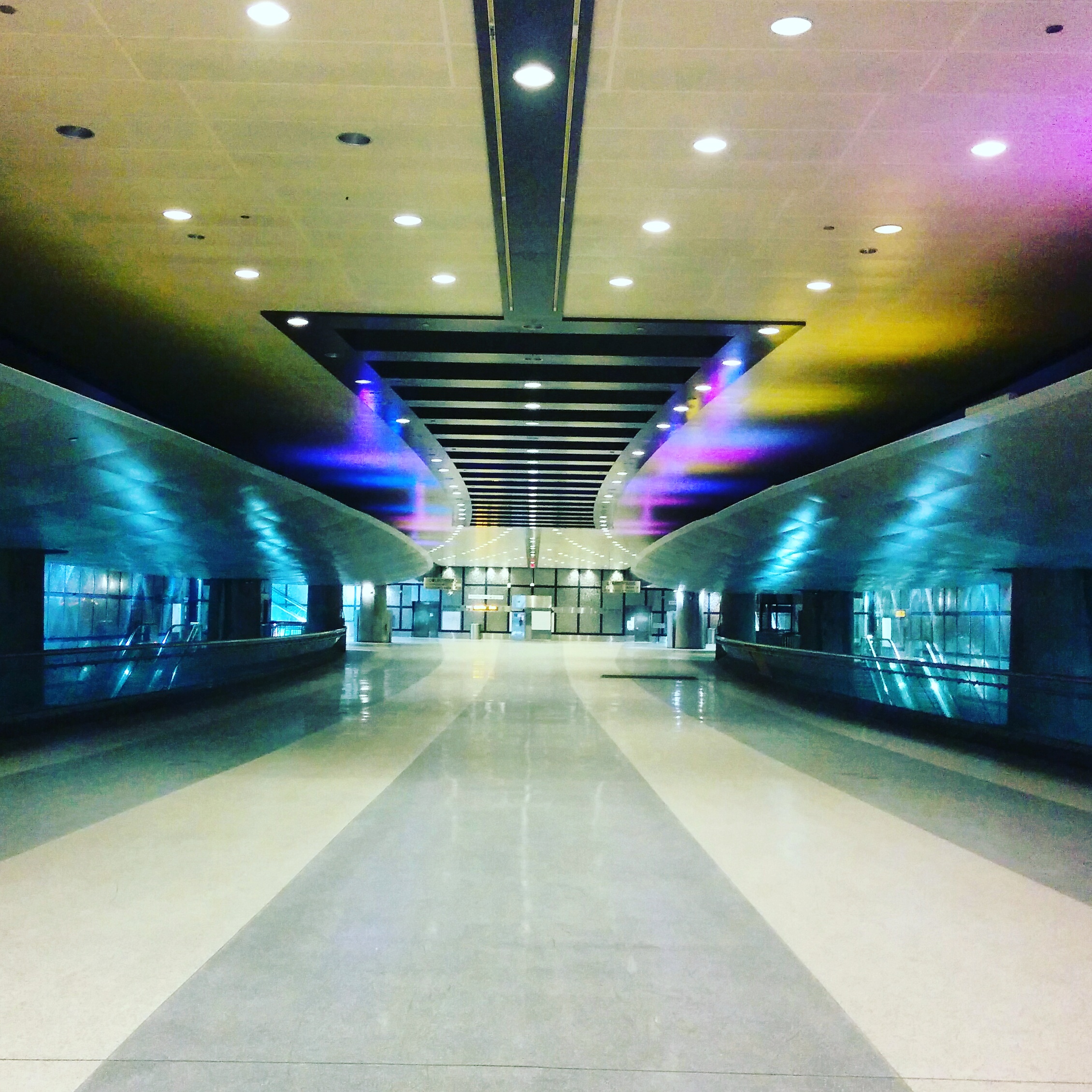
Even though it was 8 stops to Copley, bus stops are close together, so the trip wasn’t long. We took the elevator down to the platform. Now I like elevators more than stairs, but unfortunately most MBTA elevators are very dirty, so be careful.

We took pictures with the map where we were heading. Here is a picture of where East Berkeley Street was on the map.

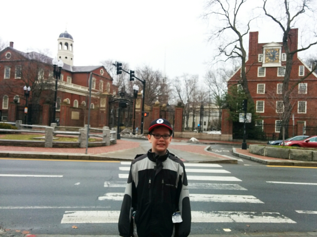
And here is our next station, Eliot. As you can see, it is close to Riverside, the terminus of the D. It is one of the longest lines in the subway system, the same size as the Braintree branch on the Red Line.

After 12 stops of riding, or 33 minutes, we arrived at Eliot. The Green Line isn’t a streetcar, and acts more like a subway line. Most Green Line D stations look like this. The third picture is me waiting at the stop which is located in the Inbound platform of most Green Line D stations.


Now we needed to get to Englewood Avenue. The easiest was is to ride to Reservoir, 4 stops away, that is very close to Englewood. Reservoir is a big Green Line storage garage. Once we arrived, we were wondering if we should do the F’s, so we ended up doing them anyway.


We took the Green Line C inbound to Fairbanks Street, 4 stops away. That was kind of tricky, because we would have to get off and back on, or we would need to wait 10 minutes. Luckily, the train stopped for a minute, so we quickly took a picture and hopped back on.


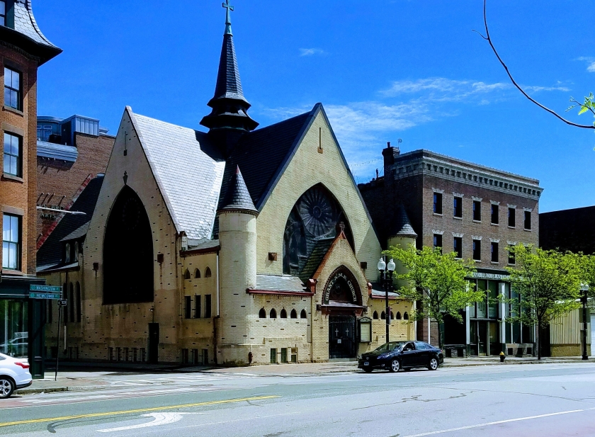
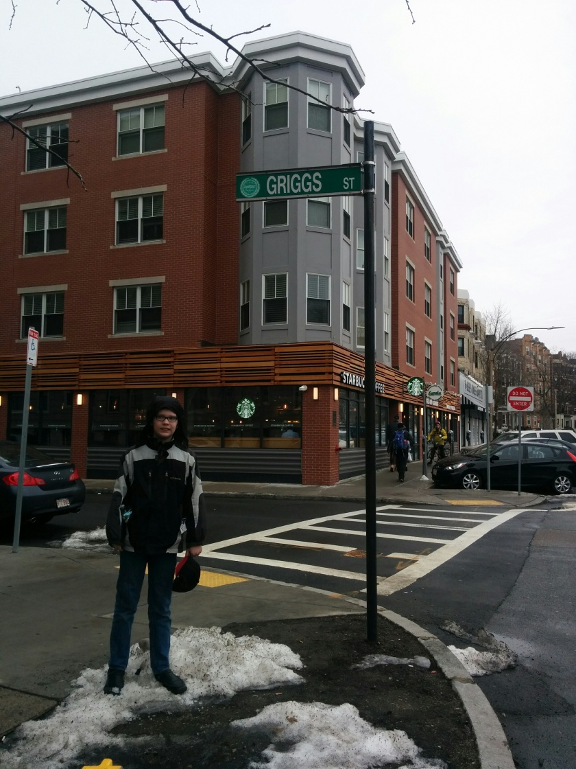
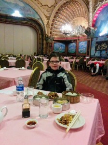
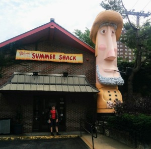
Next up, Fenway. Don’t be confused with Fenway Park, as it is a little bit further than that. To get there, we continued on the Green Line to Saint Mary’s Street, 7 stops away which was a short walk to Fenway. We did pass a restaurant that had pretty cool food. I ordered a grilled cheese, but it didn’t turned out how I like.

Now at Fernwood Road, we needed to head far south on the Red Line, to Fields Corner. So we took an E train to Park Street, 10 stops away and then take the Red Line to Ashmont. Fields Corner was 7 stops away.

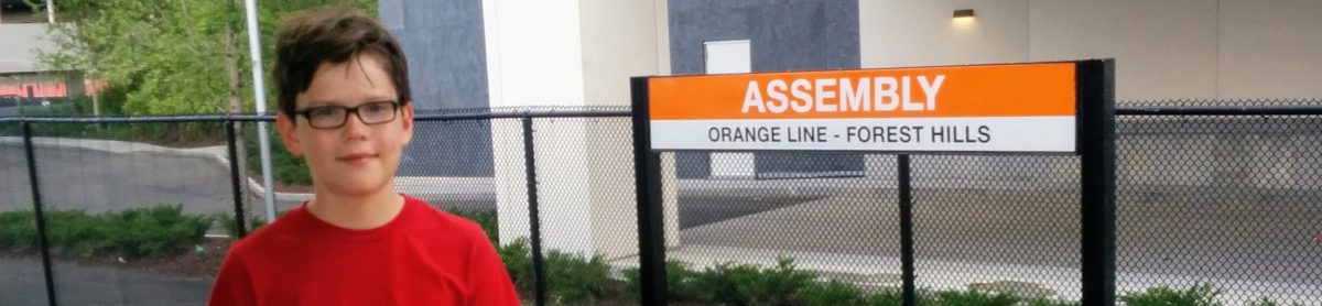
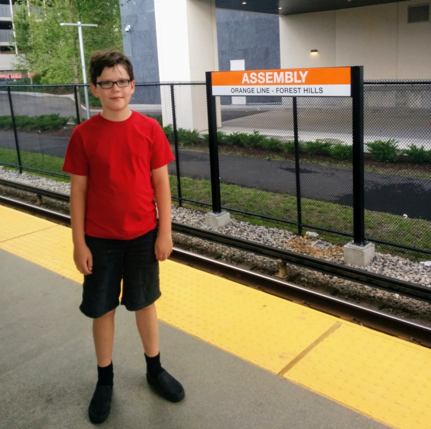
Now our last stop, Forest Hills. This was a little hard, because Forest Hills is at the end of the Orange Line. So we took 2 buses. The first one went to Kenmore, a Green Line station. We stopped early though to take a 16 bus, straight to Forest Hills! This bus ride was cool because we went through the Franklin Park Zoo.

The final stretch was very easy. All we did was take an Orange Line train to North Station and took the Newburyport/Rockport train back home to Salem.

There is a tracking map that we used, that showed how far we traveled. This is supposed to be a biking app, but we still used it anyway, as is shown below:

So that is our E and F excursion, told by me, Alex the T boy! I was so glad my dad did this excursion with me.
Thank you for stopping by and reading this blog!